August 22, 2022 | 17:50 (GMT+7)
Third storm imminent to East Sea: forecasting centre
The East Sea South China Sea) is likely to record the third storm this year after a tropical depression in the east of the Philippines’ Luzon Island strengthens and moves in the next one or two days, according to the National Center for Hydro-Meteorological Forecasting.
    |
 |
|
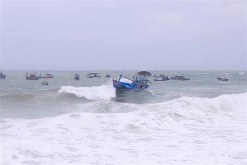
The East Sea is likely to record the third storm this year. (Photo for illustration) |
The center said the depression exists in the east of Luzon Island on August 22, and there is a 70 - 80% chance that it will intensify into a storm in the next 24 hours.
The storm is likely to enter the northeastern area of the East Sea in around August 23 night and August 24 to become the third storm in the waters this year.
From around August 23 evening, its circulation will trigger downpours, fierce winds, and strong waves in the eastern part of the northern and central East Sea, the center predicted.
Facing this, the Standing Office of the National Steering Committee for Natural Disaster Prevention and Control on August 22 sent a document to coastal localities from Quang Ninh in the north to Quang Ngai in the central region, asking them to keep a close watch on storm forecasts to notify captains and owners of vessels working at sea.
They were also requested to make appropriate production plans to ensure human and property safety, maintain contact to deal with any circumstances in a timely manner, seriously stay on duty, and frequently submit reports to the Standing Office and the Office of the National Committee for Natural Disaster Response, and Search and Rescue.
Source: VNA