The stations will be located on Pha Din mountain pass in the northern mountainous province of Dien Bien, in Viet Tri city of the northern midland province of Phu Tho, in Nha Trang city of the central coastal province of Khanh Hoa, in Pleiku city in the Central Highlands province of Gia Lai, and in Quy Nhon city in the south central province of Binh Dinh.
According to Bui Thi Hong Trang from the VMHA, the stations can supply high-resolution weather information within hundreds of kilometers, which is necessary for the forecasting of coastal storms, thunderstorms, and heavy rains.
    |
 |
|
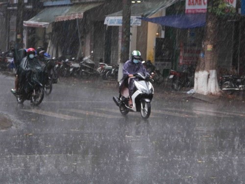
Vehicles move in the rain |
The stations will be equipped with Vaisala’s C-WRM200 dual polarization Doppler weather radars, a new radar generation with higher sensitivity and lower costs, said Trang.
She added that along with the improved quality of statistics, the radars will also help improve accuracy in alerting dangerous weather phenomena.
Vietnam is one of the countries hard hit by climate change with frequent extreme weather conditions.
According to the NHMC, the year of 2018 will see about 12-14 storms and tropical depressions in the East Sea, with some 4-6 storms forecast to directly affect Vietnam’s mainland.
Recently, torrential rains and floods attacked several northern mountainous provinces, especially Ha Giang and Lai Chau where flash floods and landslides left 23 dead and 10 missing.
The floods also pulled down or swept away 161 houses, damaged 958 homes, and submerged 1,800 others.
In addition, more than 1,500 ha of rice and crops were inundated or destroyed, while nearly 600ha of aquaculture were damaged, and 738 cattle heads and over 13,800 poultry were killed.
Total damage was estimated at nearly VND 500 billion (around USD 21.8 million).
Source: VNA